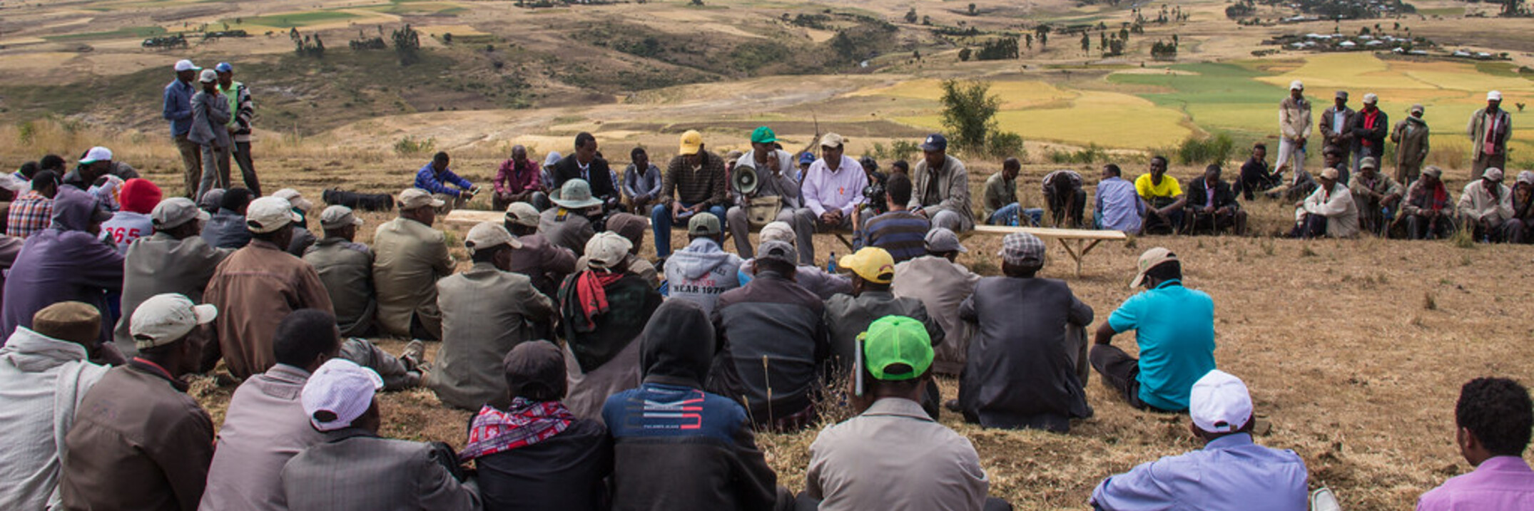
Training course on how to design, implement, manage, analyze and report on research and development in GIS application and acquire up-to-date information on research and practical activities in GIS application in each participating country.
Homs governorate watershed is considered as the agricultural production hub and a strategic water reservoir of Syria. However, land fertility and the increase of population, as well as climatic changes, urged the farmers in this region to intensify...
Extensive forest changes have occurred in monsoon Asia, substantially affecting climate, carbon cycle
and biodiversity. Accurate forest cover maps at fine spatial resolutions are required to qualify and
quantify these effects. In this study, an...
Rangelands of Central Asia (referring to Kazakhstan, Kyrgyzstan, Tajikistan, Turkmenistan and Uzbekistan in this study), the largest contiguous area of grazed land in the world, serve as an important source of livelihood for pastoral and agro...
The biophysical benefits of zero tillage (ZT) are well documented in the literature.
However, the literature on its economic benefits, especially in the context
of small and medium-scale farmers in the temperate developing world is
scanty. Using a...
Lebanon, a country on the eastern coast of the Mediterranean, has a rich fl oral diversity. Relative to its area, Lebanon has more wild plant species density than any European country. With a surface area of only 10452 square kilometer, more than...
The Accurate daily reference evapotranspiration (ET) values are needed to estimate crop water demand for
irrigation management and hydrologic modeling purposes. The Bushland Reference ET Calculator (BET) was developed
to implement a user-friendly...